Movoo for hiking, trail and cycling

On the trails, Movoo speaks your language

Hiking, mountain biking, cycling and e-biking: the right map, the elevation, the path type, and nothing that only matters to cars.

What changes in this mode

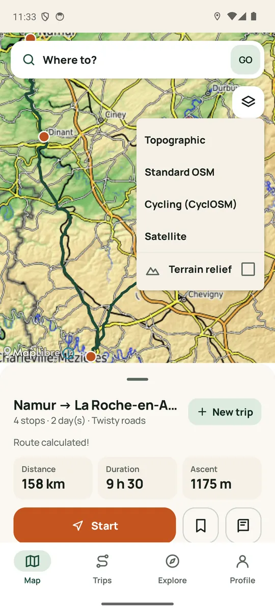
  • The right map: topographic for hiking and mountain biking, cycling map on a bike.
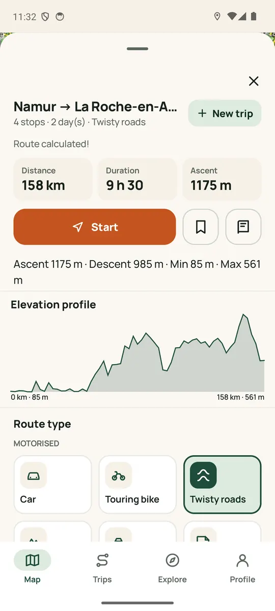
  • Elevation before you set off, then remaining climb and gradient during guidance.
  • Path type (tarmac, track, trail); on a bike, an option to avoid unpaved paths.
  • Impassable path, fallen tree, flooding: reported by members, avoided once confirmed.
  • Water points, bivouacs and huts suggested by the community, checked before publication.
  • Sunset time, with an alert if you risk arriving after dark.
  • With no network, your SOS can be relayed over Bluetooth to your group members within range.

By bike and e-bike

Cycling map, upcoming gradient and an option to stay on tarmac. Plan a multi-day ride, export it as GPX, or let the app guide you.

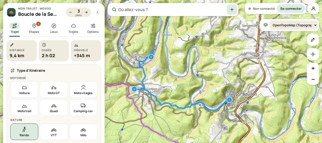
In pictures

Real screenshots of the Android app and the website.

A scenario

Three days by e-bike, from Limburg to the Eifel

From Maastricht to Monschau, you split the route over three days, spot the water points and check each stage's climb. On the way, the upcoming gradient is shown, forecast rain warns you, and a path reported flooded is avoided.

Become a Movoo Pioneer

Movoo is in beta, and it's being built with you: one developer, and your feedback. Test it on your roads, tell us what's wrong, and help decide what comes next.